Maps
SLAVERY REPORT
Map
of main areas affected by slavery 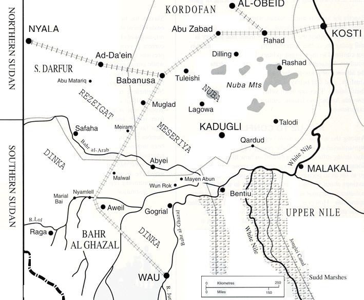
Links
to Sudan maps on other sites
Plan
of National Islamic Front "Ghost House" detention and torture centre,
near old Citibank building in Khartoum
OIL REPORT
Pipeline
route 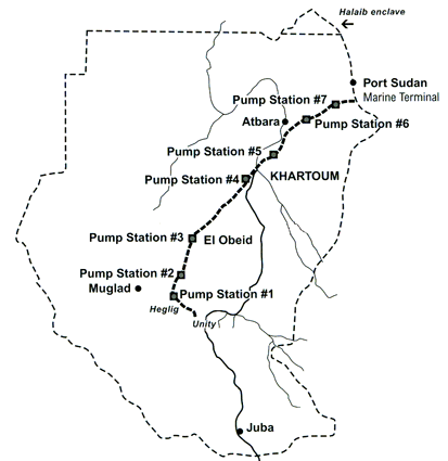
Oilfields
and human displacement
Oil
& Gas concessions 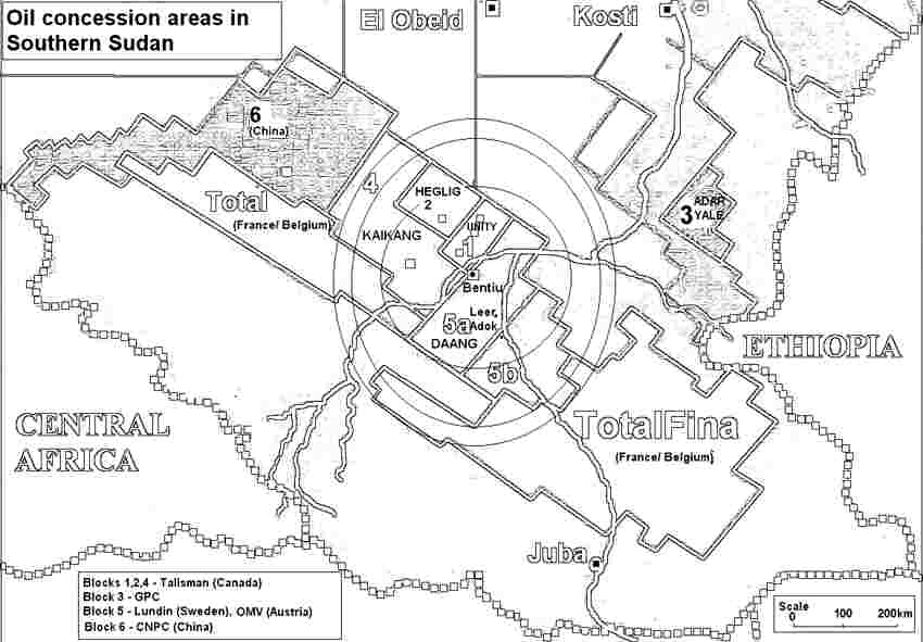
LANDSAT
photo of Western Upper Nile
1950s
Anglo-Egyptian period map of Western Upper Nile
Close-up
of Heglig and Unity oilfields
Large maps of SW Sudan / Western
Upper Nile ( Warning: BIG pdf FILES!):
1)
Buram
2)
Doleiba
3)
Tapoda
4)
Tuai-Bur
 back to top
